English
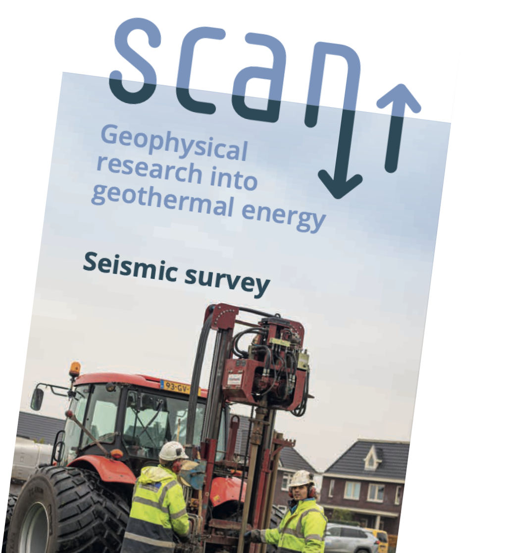
Geophysical survey Metropolitan Region Amsterdam

At the end of December 2025, the geophysical survey in the Metropolitan Region Amsterdam (MRA), that covered parts of nine municipalities (Amstelveen, Amsterdam, Diemen, Ouder-Amstel, De Ronde Venen, Wijdemeren, Stichtse Vecht, Gooise Meren and Haarlemmermeer) was finished. This survey aims to map the subsurface in three dimensions, which is referred to as 3D seismic research. The goal is to collect more data regarding the deep subsurface. This information is essential for the development of geothermal energy as a sustainable heat source, to heat homes and office buildings using natural resources from within the earth.
To make this possible, in addition to heat networks, geothermal production sites are needed to supply heat to homes and buildings. Before these production locations can be selected and developed, more information about the subsurface must be gathered. This is what the geophysical survey in the MRA area aims to deliver.
Previous research by SCAN
This project is a follow-up of earlier 2D geophysical surveys conducted in 2021 and 2022, a research well in Ouderkerk aan de Amstel in 2023 and a research well on Strandeiland in Amsterdam. The project on Strandeiland started in September 2025 as well and was finished at the end of December.
Status en planning
-
May - August 2025
Preparatory work
-
September - the end of December
Survey takes place
-
The end of december - Januari 2026
Completion of the survey, removal of ground microphones, and dismantling of the field office
-
End of 2026
Completion of data (subject to change)
Where the survey took place
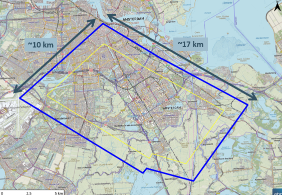
Check the maps of the nine municipalities which show where the seismic survey, up to depths of approximately four kilometers, took place.
Why a geophysical survey here?
Previous geological subsurface studies have shown that the Slochteren sandstone layer is technically suitable for geothermal energy production in the MRA. To further map the geothermal energy potential and to determine whether it is feasible to actually develop sites for geothermal energy production from the Slochteren sandstone, this additional 3D seismic research is needed.

White-orange ground microphone (geophone)
Collaboration
Geothermal energy is an important renewable resource for making the heat networks (also known as district heating) in Amsterdam and the surrounding municipalities more sustainable. That is why the City of Amsterdam, Vattenfall and EBN have joined forces. The Province of North Holland is also contributing financially to the project. The goal is to use the first geothermal source by 2031. SCAN’s research is crucial to achieving this goal. Vattenfall manages part of the heat networks and supplies heat, EBN has extensive knowledge of the geology of the subsurface and participates in several geothermal projects throughout the Netherlands, and the City of Amsterdam supports the development of sustainable heat sources. In the future, this partnership will be expanded with an operator who can develop and manage the geothermal production sites.
![]()